Forestry, Land Management & Environmental
Empire Unmanned has worked with several state and federal agencies and their contractors on recording before, during and after maps of environmental zones and wetlands. We can also provide statistical data like volumetrics that can precisely document piles and fills. With our multi-spectral cameras, we can even search for noxious weeds like the phragmites circled in the image below.


Empire Unmanned provides specialized services in forestry, land management, and environmental monitoring, collaborating with state and federal agencies. Utilizing advanced multi-spectral imaging, we offer precise mapping and analysis for environmental zones, wetlands, and volumetric assessments, aiding in conservation and sustainable management efforts. Our technology enables the identification and tracking of invasive species, ensuring detailed environmental oversight and proactive land stewardship.
More News about Forestry and Land Management
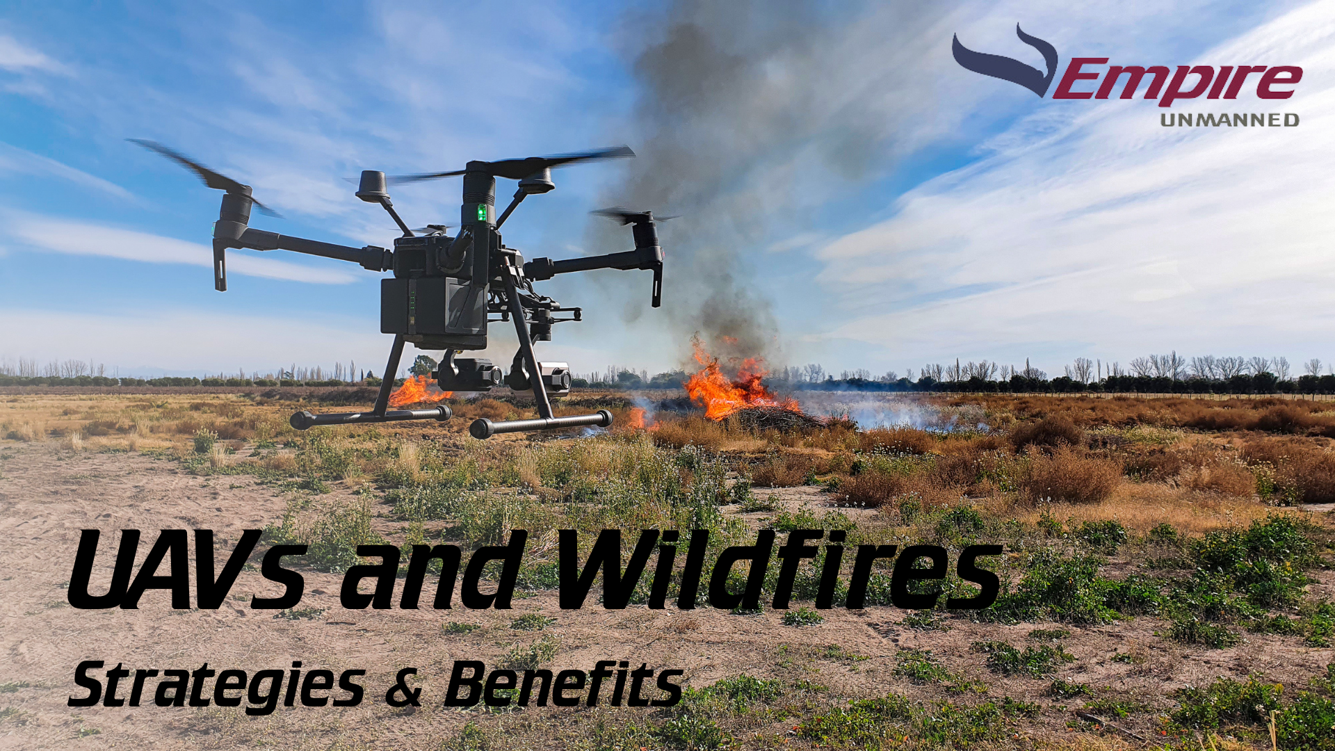
UAVs in Early Wildfire Detection: Strategies and Benefits
The increasing frequency and intensity of wildfires around the globe have prompted the need for innovative solutions in wildfire management and prevention. Unmanned Aerial Vehicles (UAVs), commonly known as drones, have emerged as a pivotal technology in the battle...
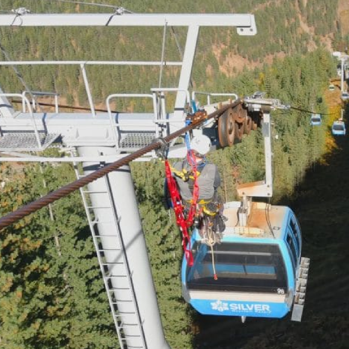
Cascade Rescue Company hires Empire Unmanned for Training & Demo Footage
FOR IMMEDIATE RELEASE Contact: Jeff Williams, President & Senior Pilot(808) 675-1650jlwilliams@empireunmanned.com Empire Unmanned was hired by Cascade Rescue Company of Sandpoint, Idaho, to provide aerial imagery of a training and demonstration event held...